Inyo County is a county located in the south eastern part of the state, bordering Nevada. The county seat is Independence, and the largest town is Bishop.
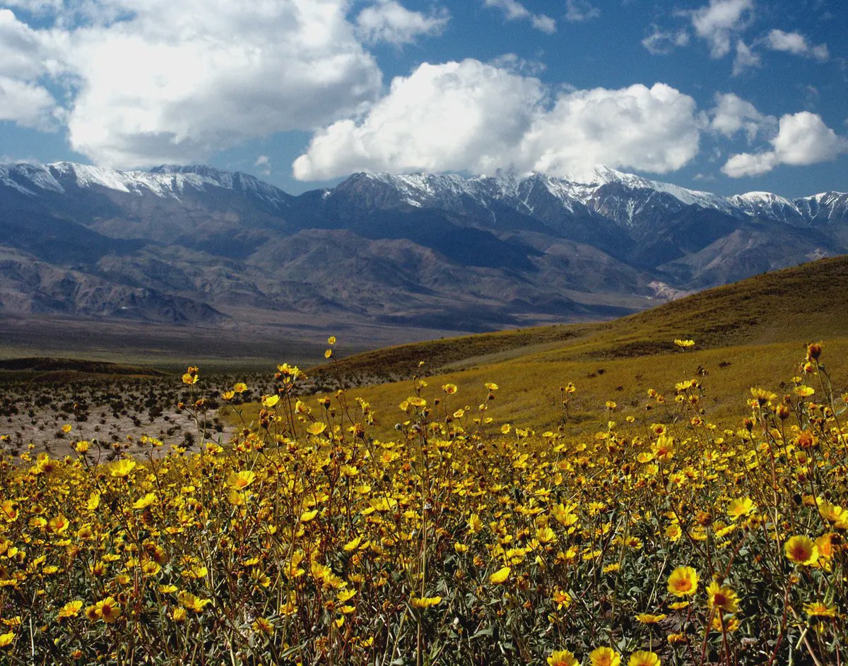
Inyo County has a diverse geography, with the highest peak in the contiguous United States, Mount Whitney, located within its borders. It also includes the lowest point in the Western Hemisphere, Badwater Basin in Death Valley National Park. The county also includes parts of the Sierra Nevada mountain range and the Inyo National Forest.
Inyo County sits on the ancestral lands of Native American tribes such as the Mono, Timbisha, Kawaiisu, and Northern Paiute. The county was named after a Native American word meaning "dwelling place of the great spirit."
Major landmarks in Inyo County include Death Valley National Park, the Bristlecone Pine Forest, and the Manzanar National Historic Site, which preserves the history of the internment of Japanese Americans during World War II.
As of the 2020 census, the population of Inyo county was 18,546. Inyo county is the second largest county by area in California. The economy of the county is primarily driven by tourism, with many visitors coming to see the natural beauty of the region, including national parks and forests. The county also has a small agricultural sector and some mining activity.
Commercial cannabis is legal in Inyo county, largely focused on cultivation, although a significant amount of cultivation licenses in the county have been allowed to expire. There is a very limited retail presence, likely due to the limited population and regional isolation.